Markets




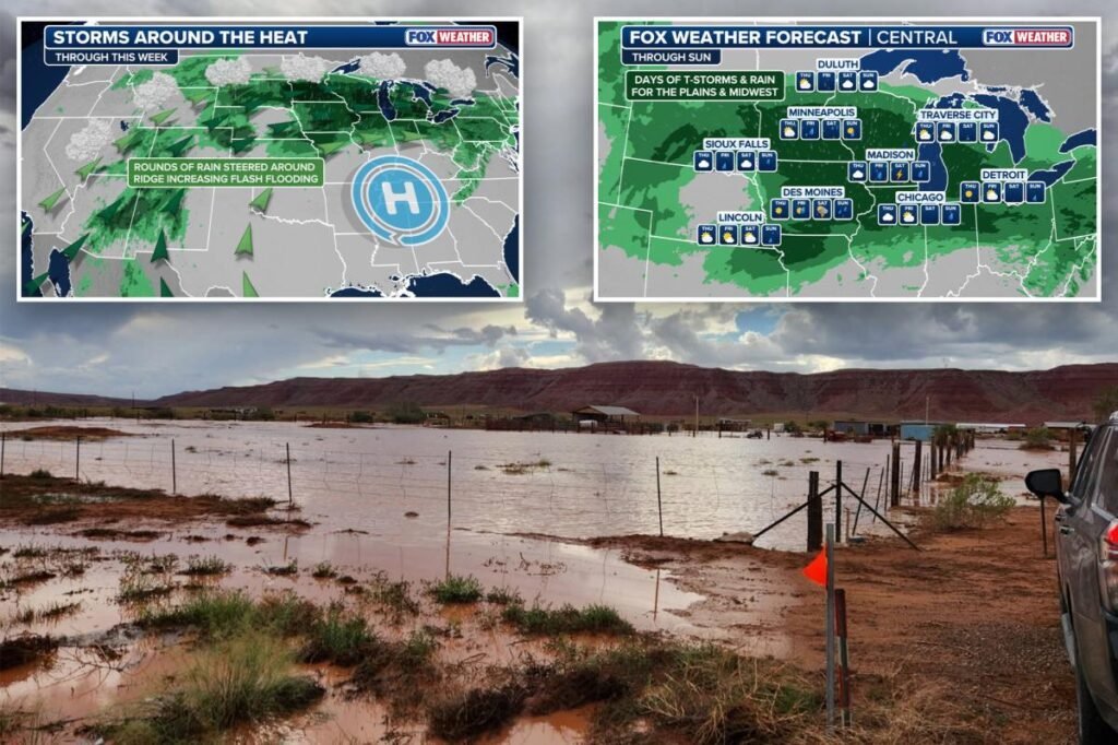
A multi-day flash flood threat covering millions of people across the Midwest and Central Plains has been extended through Sunday as a stalled weather pattern is expected to bring relentless rounds of thunderstorms over the region.
NOAA’s Weather Prediction Center (WPC) has issued a Level 2 out of 4 flash flood threat for parts of the Midwest through Sunday, where a widespread 3–5 inches of rain is expected all told, with some localized areas potentially seeing 5–8 inches.
The initial rounds of storms began at the beginning of the week, bringing flooding to parts of Western Iowa.
The heavy rain sent rivers and creeks out of their banks in Cass…
Read the full article at NYPOST.COM